GIS Services
BIM-GIS
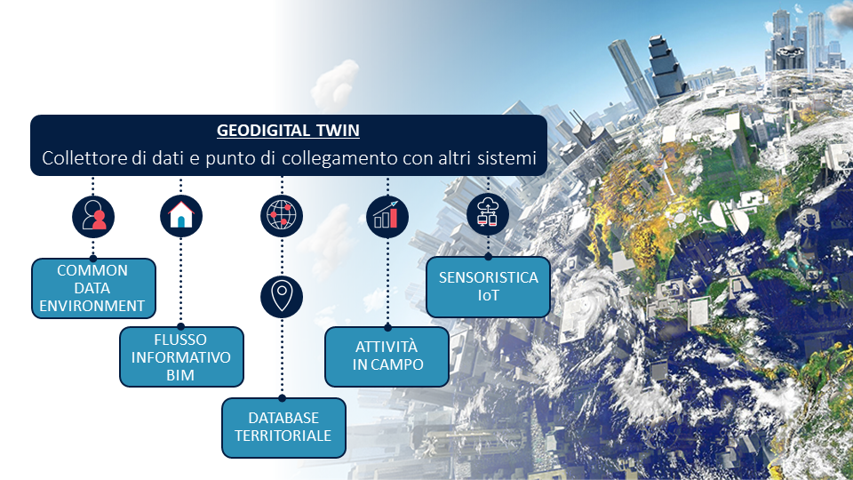
Pertaining digitalization processes, the integration between BIM, GIS and GEO Digital Twin has becoming an increasingly frequent topic of discussion.
It concerns the use of information technology paired with suitable information flows to better understand and guide the different phases of the life cycle of a project, but also the transformations that affect the territory: buildings, infrastructure and even large-scale systems. Oftentimes itis a matter of highly complex information models.

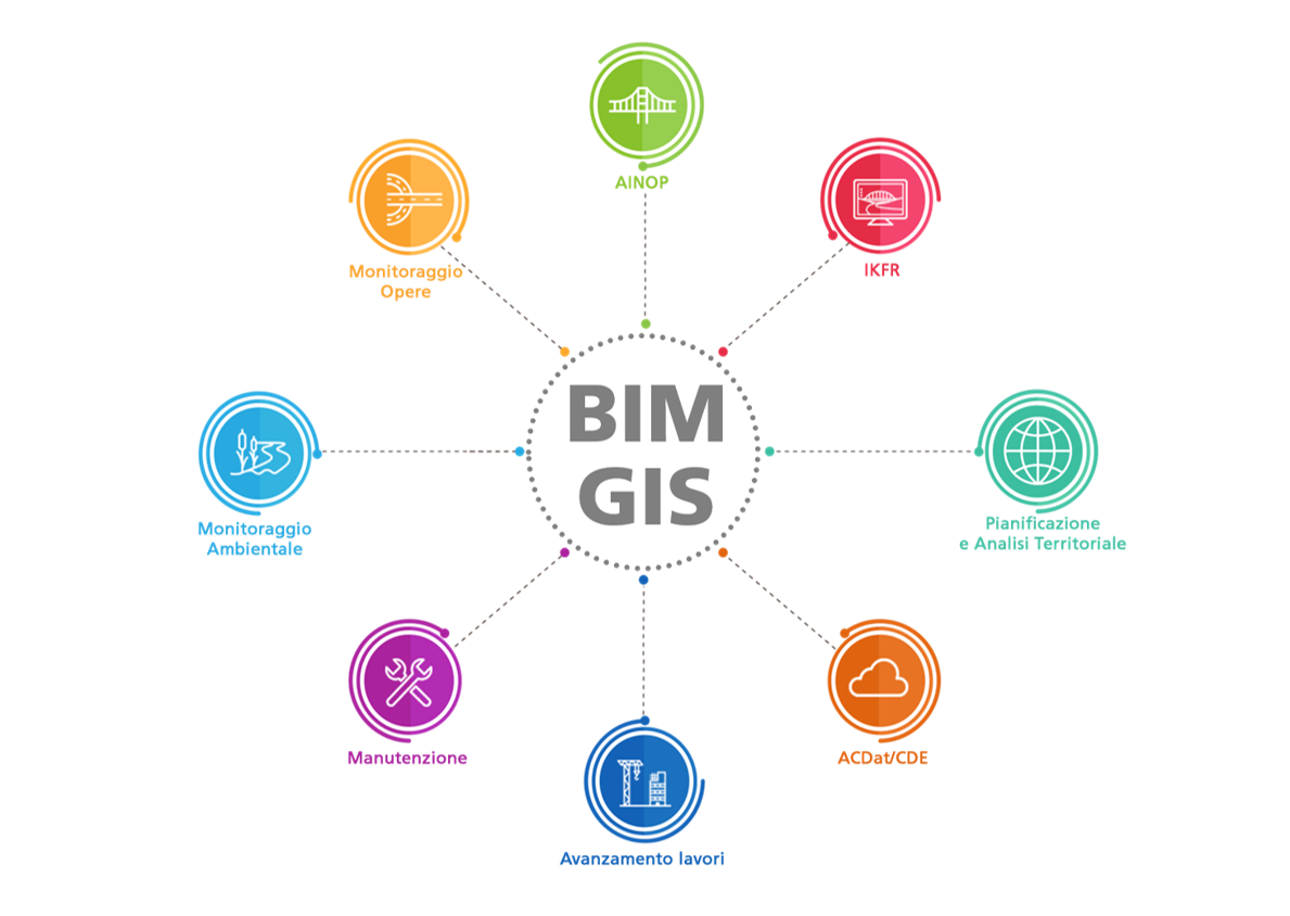
For this reason, it is important to follow rules and best practices, and lean on BIM and GIS software solutions that can share information and interact in the workflows without loss of data, elaborating and analyzing 3D models according to their own specific abilities. The ESRI platform and One Team solutions fit into the BIM information process interacting with authoring BIM tools and ACDat, to generate a GEO Digital Twin to take advantage of the analysis, monitoring and WEB publishing potentialities of GIS ESRI tools.


