GIS Services
Geocollaboration
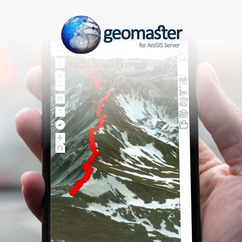
The platform Geomaster enhances the distribution of cartographic contents and the information related to them, linked between different involved parties, both in asset management on the territory and in the decisional process for the resolution of critical events and shared planning.
The GIS Web tool becomes both the tool to involve operators in the structured gathering of information and for its cartographic representation. In turn, a cartography read in an overview, delivers a message, describes a trend, or captures a situation otherwise of difficult understanding.
Geomaster has a particular vocation towards integration between different systems: with script development automation on data shared between systems is facilitated, with software development on commission the tools are integrated and personalized on the basis of specific efficiency and efficacy needs.


